YongXiang Survey Co. was established in April 1993. Allows YongXiang Survey Co. to perform mapping operations under the Land Surveying and Mapping Act.
Services include single/multi-beam measurement, side-scan sonar, underwater photography, UAV photogrammetry, LiDAR high-precision scanning measurement, application measurement, control measurement, BIM combined with VR and AR applications, etc.
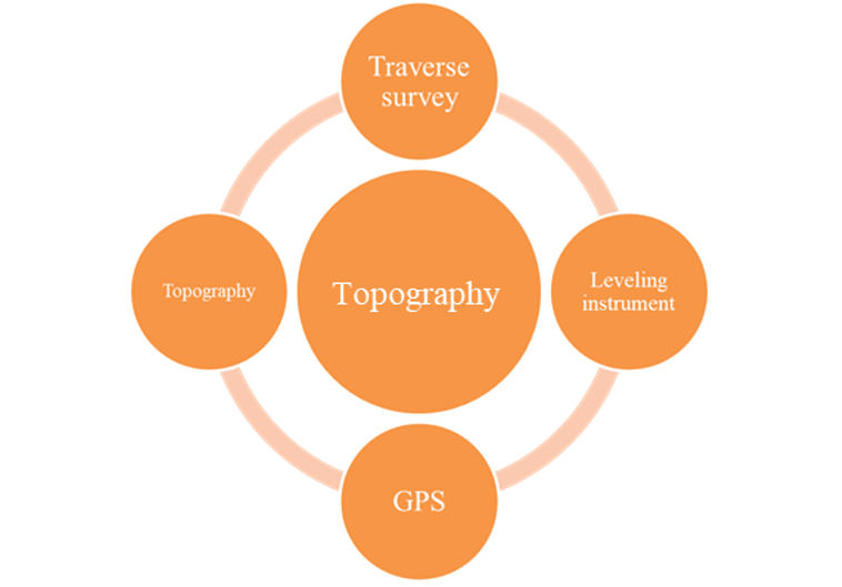
Topography surveying
Topography surveying is a process for determining distances and angles between points on land. Land surveyors use traditional instruments and digital technology, to produce surveys, data and maps describing the Earth’s surface features. This is essential for civil engineering and construction projects.
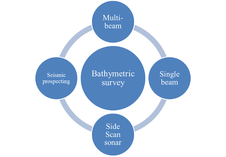
Bathymetric Survey
Bathymetry is the study of underwater depth of lake or ocean floors. In other words, bathymetry is the underwater equivalent to hypsometry or topography.
Single beam and Multibeam are two types of sonar that used to map the seabed. The amount of time it takes for the sound waves to bounce off the seabed and return to a receiver is used to determine water depth.
Side-scan sonar is a category of sonar system that is used to efficiently create an image of large areas of the sea floor.
A remotely operated underwater vehicle is a tethered underwater mobile device.
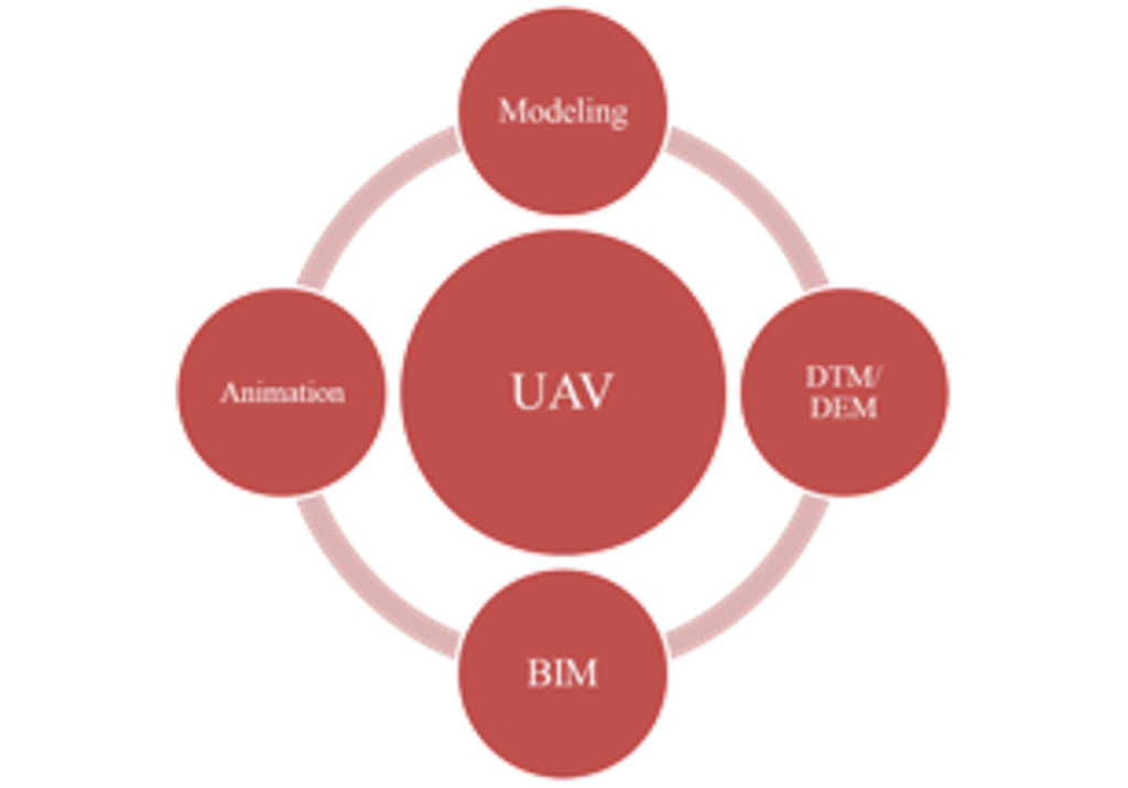
UAV Survey
An unmanned aerial vehicle (UAV) is an aircraft without a human pilot on board. The flight of UAVs may operate with various degrees of autonomy: either under remote control by a human operator or autonomously by onboard computers. We provide the reality modeling and UAV LiDAR scanning services.
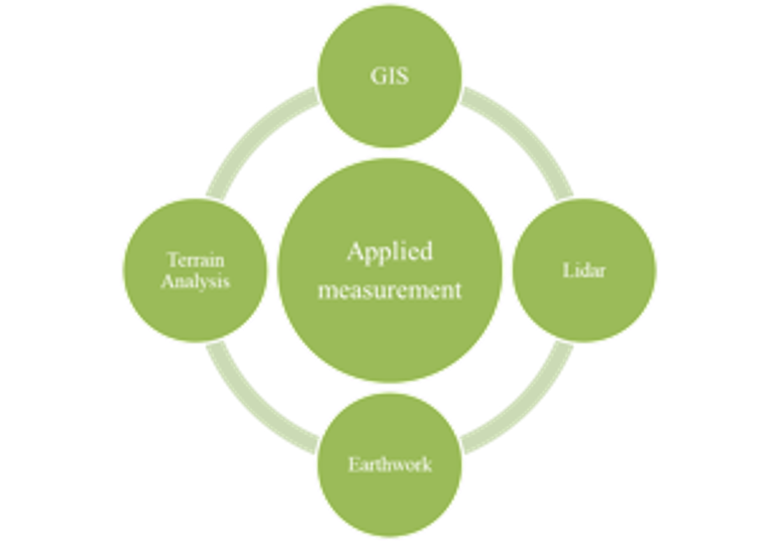
Applied Measurement
Lidar is a surveying method that measures distance to a target by illuminating the target with pulsed laser light and measuring the reflected pulses with a sensor. Differences in laser return times and wavelengths can then be used to make digital 3D representations of the target.
Building information modeling (BIM) is a process supported by various tools and technologies involving the generation and management of digital representations of physical and functional characteristics of places.